
Infrastructure

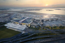
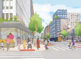
Rendering of new greenways. Source: Greater Greenways Plan

City Unveils Greater Greenways Plan To Expand NYC’s Parks And Waterfront Access

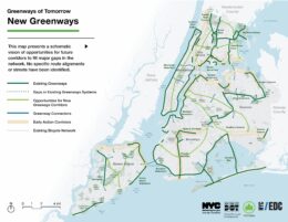
The City of New York has released the Greater Greenways plan, a blueprint to expand and unify the city’s multi-use corridors designed for cycling, walking, and recreation. Announced along the East River esplanade in Manhattan, the plan is a collaboration between the New York City Department of Transportation (NYC DOT), NYC Parks, and the Economic Development Corporation (EDC).

Read More

Illustration of Hillside Avenue and 150th Street, via jamaicaplan.nyc

City Planning Commission Approves Jamaica Neighborhood Plan In Queens

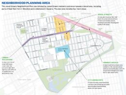
The New York City Planning Commission has approved the Jamaica Neighborhood Plan, a rezoning initiative aimed at transforming 230 blocks of Jamaica, Queens. Led by Mayor Eric Adams and the NYC Department of City Planning, the plan is expected to create over 12,000 new homes, including 4,000 permanently affordable units, along with 7,000 new jobs and more than 2 million square feet of commercial and community space. The plan will now advance to the City Council for final review after two years of development with extensive community engagement.

Read More

Rendering of Midtown South Mixed-Use Plan, via nyc.gov

City Council Land Use Committees Approve Midtown South Mixed-Use Plan

On August 6, the City Council’s Subcommittee on Zoning and Franchises and Committee on Land Use voted to approve the Midtown South Mixed-Use Plan, a major rezoning in Midtown, Manhattan that will allow for the creation of more than 9,500 new homes, including over 2,800 permanently affordable units. The initiative is the city’s largest residential rezoning in two decades. Developed as part of the city’s broader housing strategy, the plan introduces Mandatory Inclusionary Housing to Midtown South for the first time and includes a $488 million package of community and infrastructure investments.

Read More

Rendering courtesy of S9 Architecture.

3,000-Unit Complex Revealed for Former Flushing Airport Site in College Point, Queens

New renderings have been revealed for a 3,000-unit masterplan on the former site of the Flushing Airport in College Point, Queens. Designed by S9Architecture and developed by Cirrus Workforce Housing and LCOR Incorporated, the 80-acre wetland site give rise to multiple buildings spread over 20 acres, with the remaining space devoted to park land that incorporates the existing ecosystem. The site is generally bounded by 20th Avenue to the north, Linden Place to the southwest, and a pair of commercial facilities to the southeast along the Whitestone Expressway.

Read More

The proposed overhaul for 14th Street around Union Square. Rendering courtesy of Union Square Partnership.

Mayor Adams Announces Public-Private Partnership To Reimagine 14th Street Corridor in Manhattan 

Mayor Eric Adams, the New York City Department of Transportation (DOT) Commissioner Ydanis Rodriguez, New York City Economic Development Corporation (NYCEDC) President and CEO Andrew Kimball, and leaders from the Union Square Partnership and the Meatpacking District Management Association recently announced $3 million in public-private funding to upgrade the 14th Street corridor in Manhattan. An extra $2 million will come from the City, while another $1 million will come from Local Business Improvement Districts.

Read More

Fetching more...